Geometry assignment is the most important step in the entire seismic data processing sequence. If the user assigns the wrong geometry then the entire processing sequence filled with inaccurate geometry information in the trace headers that leads to inaccurate sub surface imaging. To avoid that, the user should spend enough time to make sure that the assign the geometry with utmost care. Besides, thoroughly QC the data after assigning the geometry to make sure all the trace headers information is properly updated.
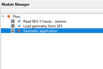
Geometry assignment in g-Platform software is pretty simple with tons of tools to QC the data. g-Platform's interactive displays make it easier for the user to make the right decisions. In the following sections, we are going to describe the geometry assignment procedure for land and marine environment.