This window provides a convenient interface for reviewing and editing various types of data in a table format.
It is particularly useful for managing markers data, log data, seismic attributes, well logs, contacts data, fault data, grid reports and other subsurface information. This feature allows for efficient data updating, comparison, and quality control, making it an essential tool for ensuring the accuracy and consistency of the geo dataset.
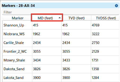
Data can be easily sorted by values in descending/ascending or alphabetical order in each column by clicking on the column name, and you can also manually change the values in any cell by double-clicking on it.