Import topography
In the Data Manager, expand Topography, right-click the external topography item, and choose Load from file. See Topography for the available context-menu actions.
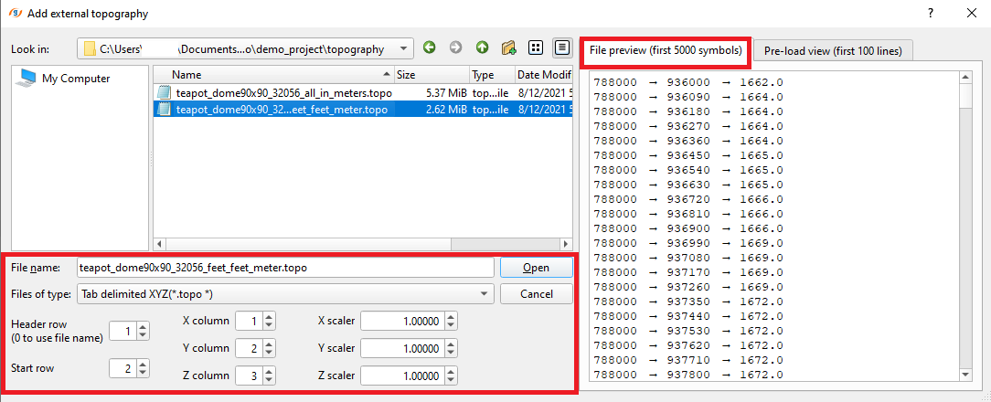
In the Add external topography dialog, select the source file and set the loading parameters:
- File type
- Headers row
- X,Y,Z columns and scale ratio
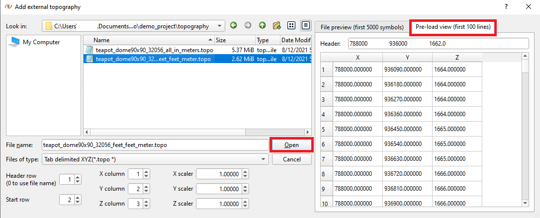
Review the parsed coordinates on the Pre-load view tab, then select Open.
For more information about external topography formats supported by g-Space refer to Grid Data Formats
Downloading topography from the web
If you do not have a topography file, g-Space can download a digital elevation model (DEM) for the project area from an online elevation service. The downloaded DEM is stored as a georeferenced topography surface and can be used in processes that need elevation (for example velocity model creation). You can also download satellite basemap imagery for the same area - see Import satellite imagery.