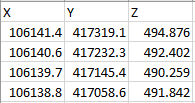
Grid point data and external topography format
These formats are tab delimited and contains X --> Y --> Z.
Note
Parameter Z may have depth, time, velocity domains. It depends in which folder it is loaded.
For more information about importing this format into g-Space refer to: Import topography, Import grids
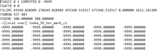
CPS-3 grid data format
Here is the file example
For more information about importing this format into g-Space refer to Import grids